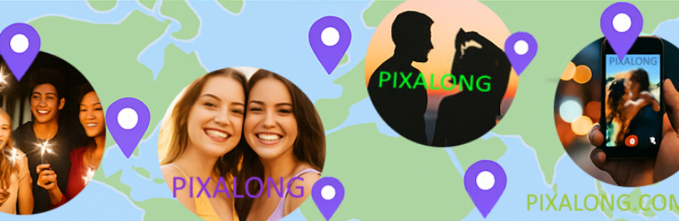
 Pixalong
 is a special outdoor social network designed for
travelers, tourists, and romantic seekers to capture, store, and connect outdoor moments in an innovative and engaging way.
Use Pixalong to share pictures from your journey, document events, connect with friends or find dating opportunities based on location and time. Like its previous versions, Pixalong remains a completely free social media platform, evolving from our different platforms for outdoor photo-mapping or dating (served within Tillclix/Domaxapps domain).
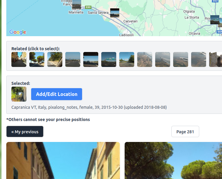
You can customize your experience by adding or removing location points on any post, making photos easily viewable and searchable via Global Maps. This unique approach transforms how you share and relive your travel experiences.
On Pixalong, you’ll
find friends along your journey—whether they match your location, route, interests, or passion for art and outdoor recreation. The app automatically associates time and place with your photos, displaying your current location and offering the option to tag it. If your photo contains geotagging data, Pixalong will recognize it and set the location accordingly. You can also manually select a location for each photo.
Easily share fresh snapshots with location details, or upload old geotagged photos and let Pixalong place them on the map. It even creates a visual route along your photo locations, sorting images by photo creation date or upload date—whichever makes the most sense for your journey.
If you ever forget where or when you took a picture, Pixalong helps you rediscover those details. The app extracts embedded
EXIF data from photos, including GPS coordinates, to provide a detailed map view of your images. Your exact location remains private—only you can see the precise geotag of your posts. However, you’ll also see nearby photos from other users, enhancing the experience of shared exploration.
Enjoy Pixalong as a unique social mapping network! Whether you're posting stunning vacation shots or capturing everyday outdoor moments, Pixalong makes it easy to organize and
relive your memories by Place & Time—all while connecting with others along the way.
We see every Pixalong user as a valued community member, helping us improve this platform for everyone. Your experience matters to us, and we truly appreciate your feedback.
For the best experience, please enable JavaScript in your browser. This app also uses cookies to enhance functionality.
Promo images source: Pixalong, Istock, Unsplash, Freepik, Pexels
 Promo images source: Pixalong, Istock, Unsplash, Freepik, Pexels